Kelly Farnworth-HeadteacherCalder Lodge School
Oakenclough
Preston
Lancashire
PR3 1UL
Kelly Farnworth-HeadteacherCalder Lodge School
Oakenclough
Preston
Lancashire
PR3 1UL 01995 676565
 info@calderlodge.school
 Mon-Fri: 8:00 am – 4:00 pm
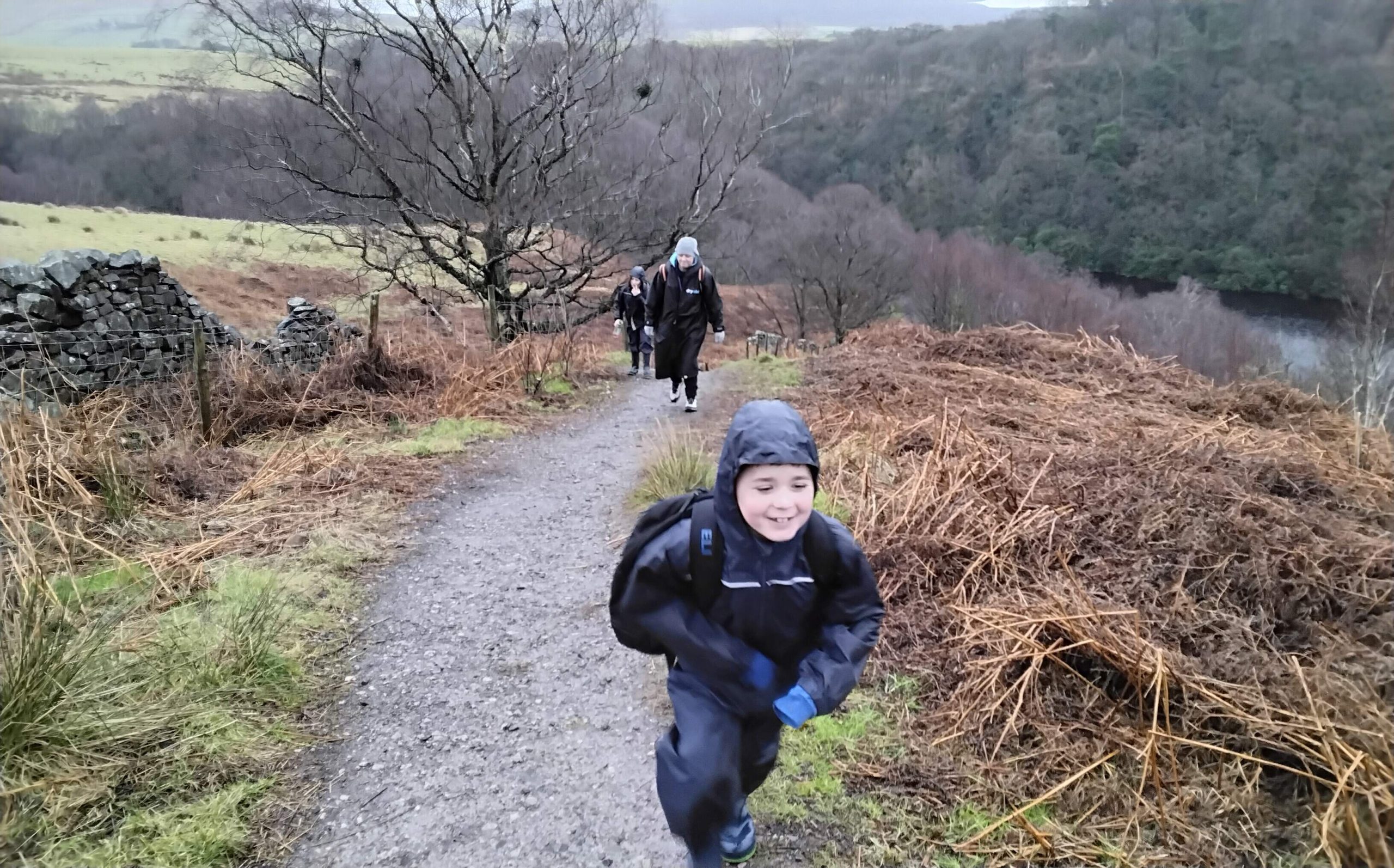
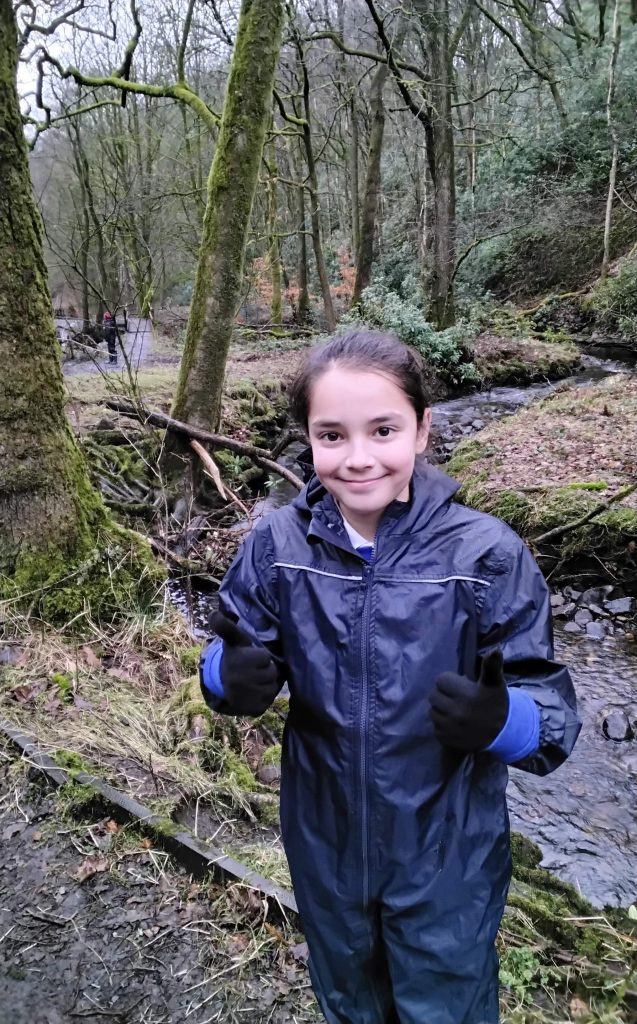
On our class trip, Bleasdale Class embarked on an exciting journey through Holme Wood to the summit of Nicky Nook. This was a fantastic opportunity for the children to apply their geography skills in a real-world setting while experiencing the beauty of the natural landscape.
Before setting off, the children used a map to carefully plot the route from school to the parking area at the base of Nicky Nook. They identified key landmarks and discussed the importance of navigation. They recognised that maps use symbols to represent different features, including footpaths, bodies of water, and elevation changes.
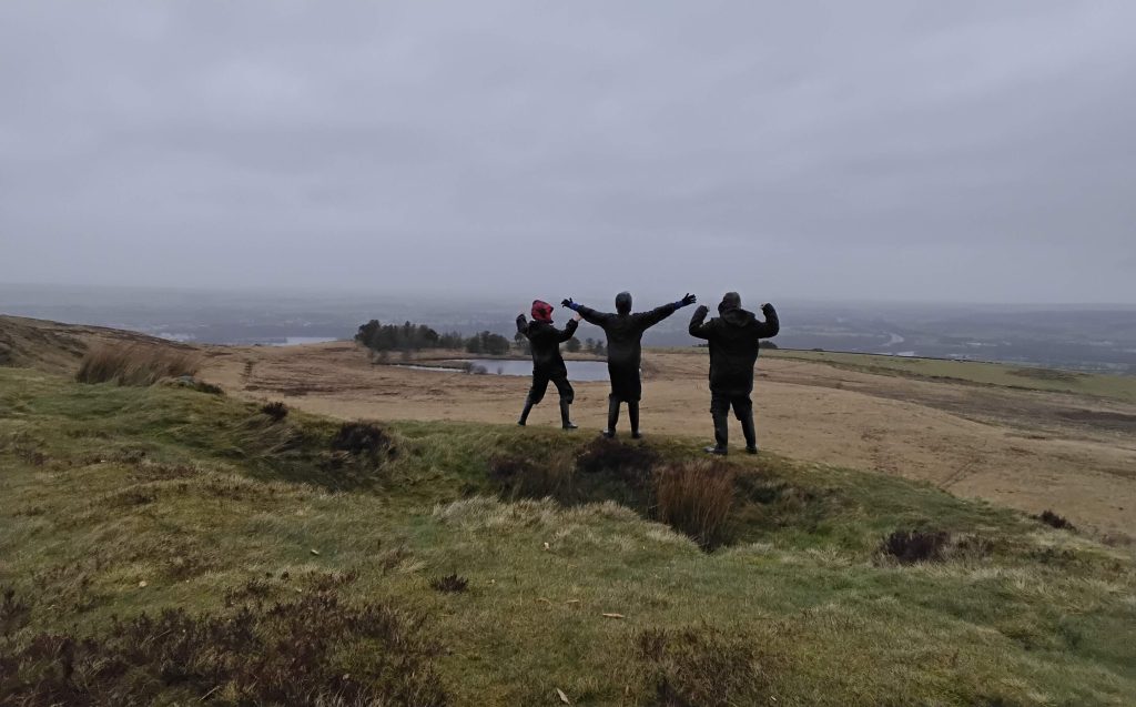
At the top of Nicky Nook, standing at an elevation of 214.9 metres, the children found the trig point. They had learned that a blue triangle on the map represents a trig point, which is used for mapping and surveying purposes. The children enjoyed identifying this feature and understanding its significance.
During the walk, the children applied their understanding of different types of mountains. They demonstrated their knowledge by correctly identifying that they would not find a volcanic mountain or hill in this area. However, they did observe features of plateau and dome-shaped hills, recognising their formation and characteristics.
As the class reached the top, the weather became very windy, with rain adding to the challenge. Despite the conditions, the children showed resilience and determination, marching forward with enthusiasm. Their positive attitude and teamwork were commendable.
The teachers and staff were extremely proud of the children’s effort, skills, and perseverance throughout the journey. This trip not only strengthened their geography knowledge but also reinforced important qualities such as resilience and teamwork. It was a truly successful and memorable experience for Bleasdale Class.